
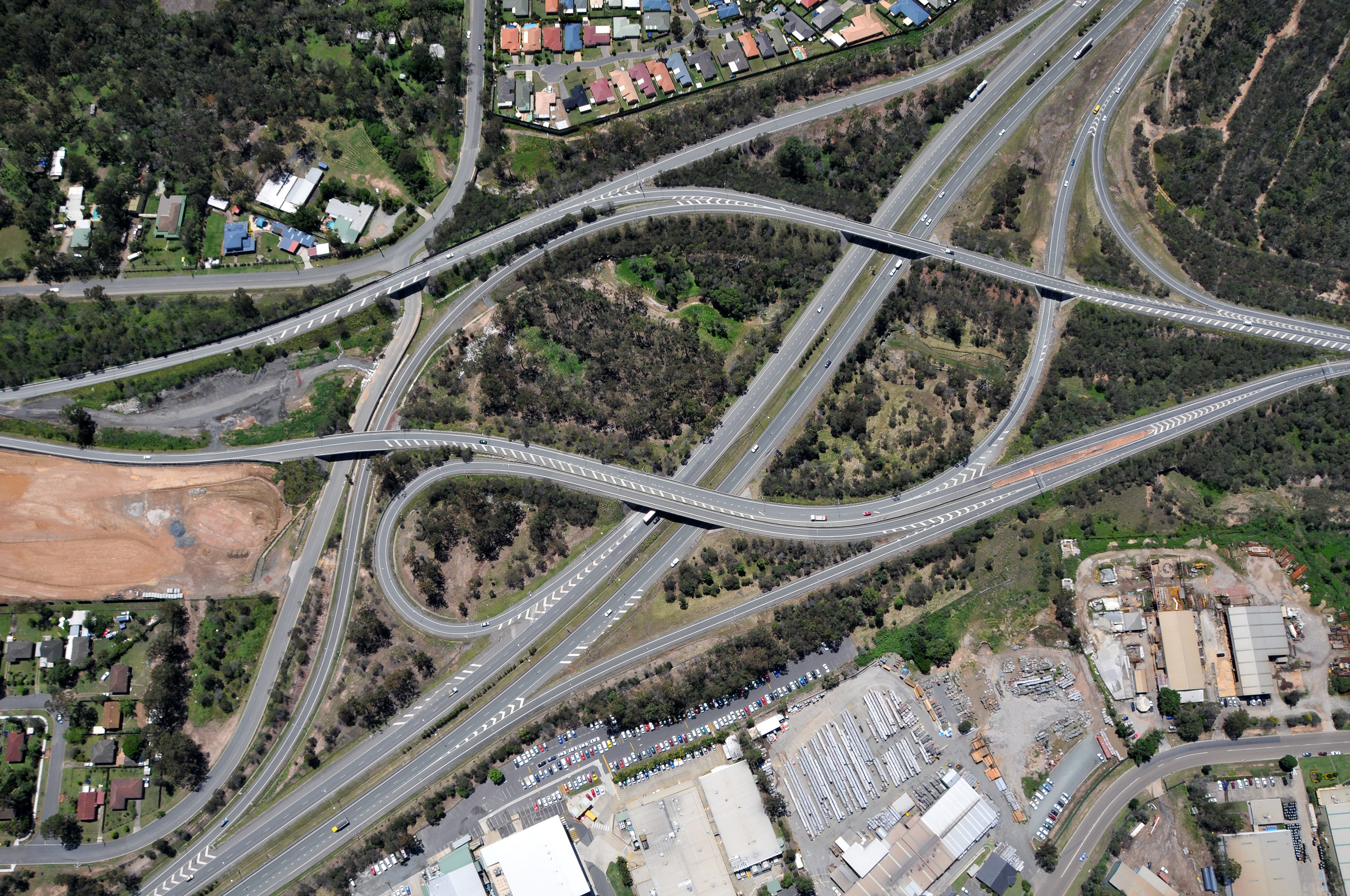
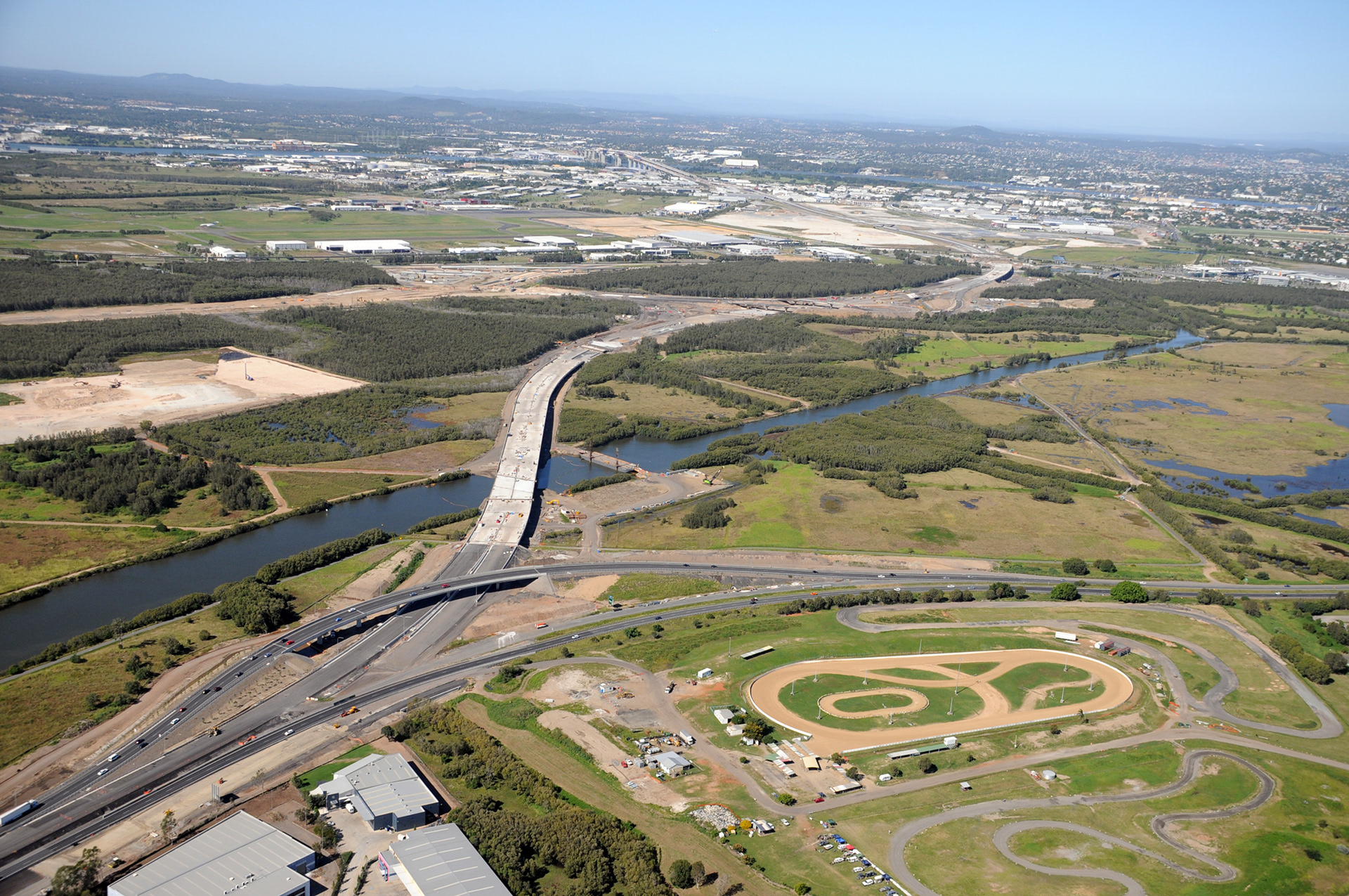
Motorway and Centenary Highway interchange - Darra to Springfield Transport Corridor: Stage 1
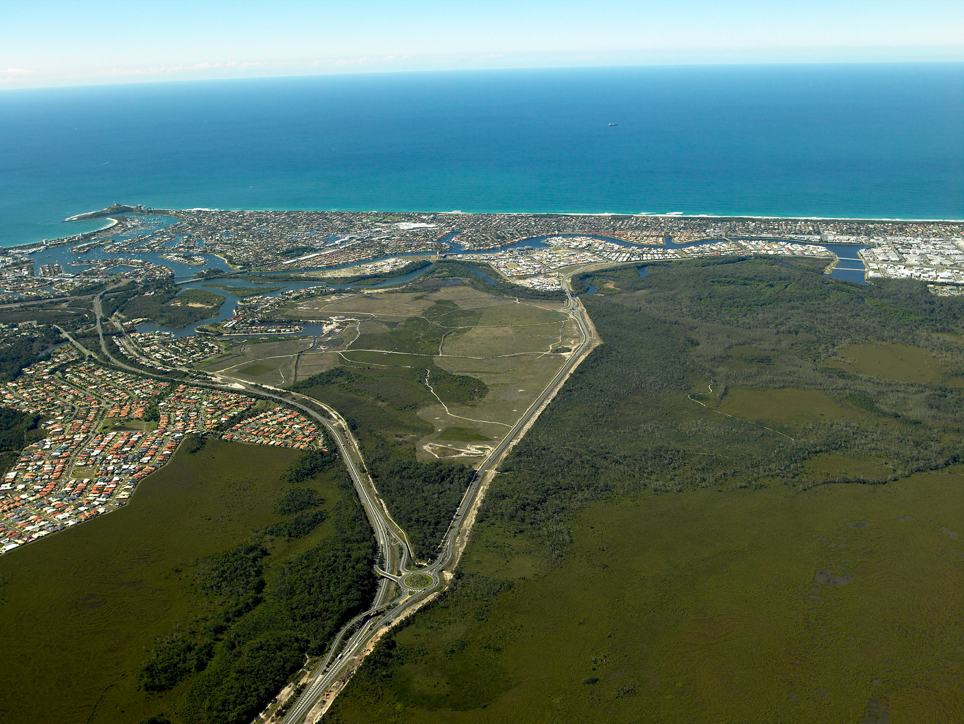
Looking east along the Sunshine Motorway and the Kawana Interchange at Sippy Downs, towards the ocean

Unveiled plaque during the opening ceremony for the Barkly Highway Upgrade, Johnson Creek Project

The completed Tugun Bypass Project Road was opened to traffic in June 2008 including the tunnel with Intelligent Transport System (ITS)
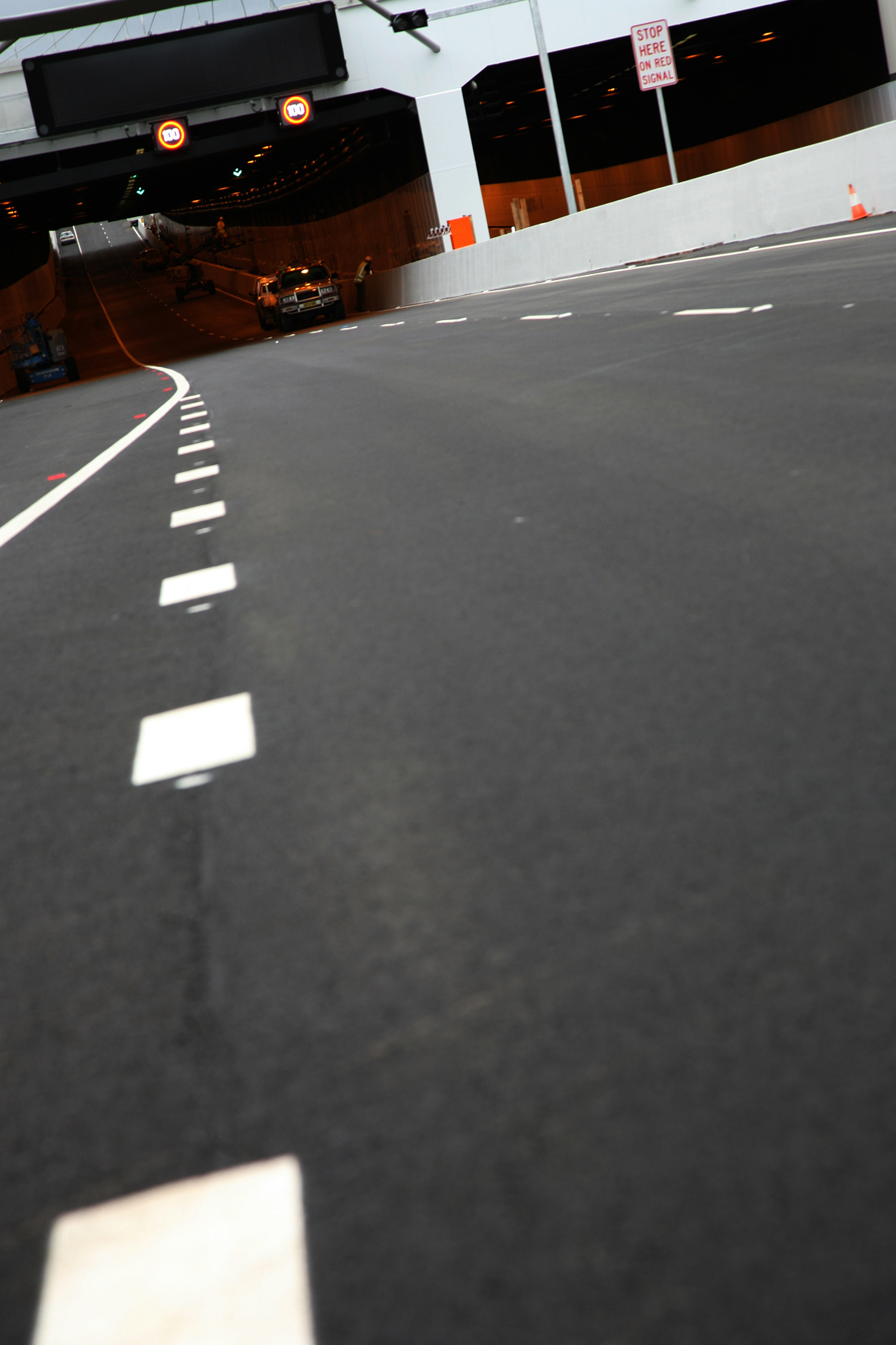
Southern portal with VMS
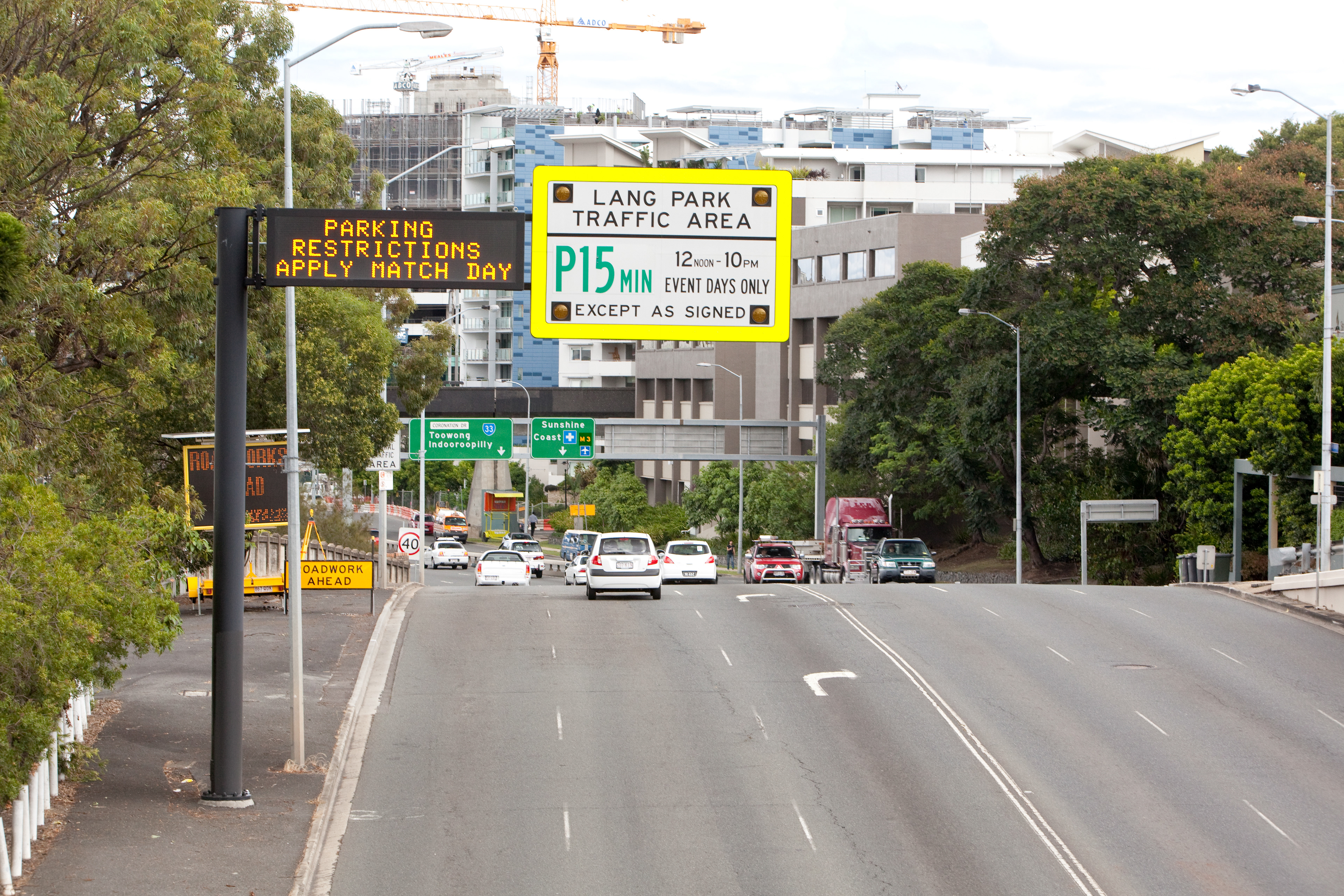
Variable Messaging Sign
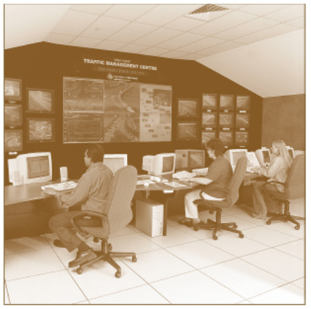
Brisbane Metropolitan Transport Management Centre in 2002
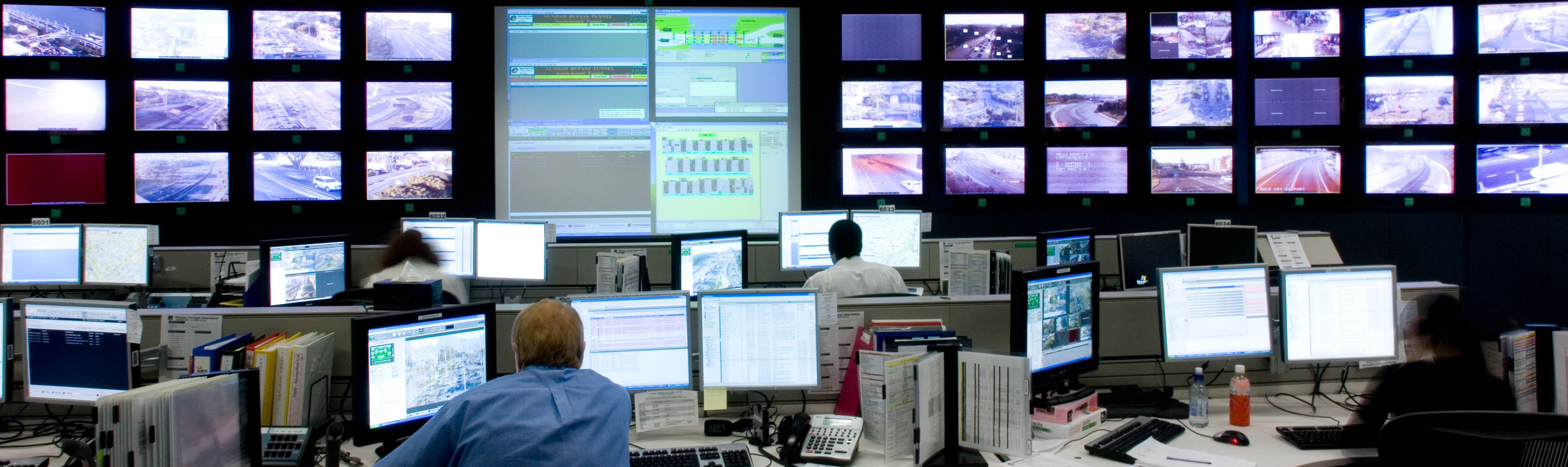
Official opening of the Brisbane Metropolitan Transport Management Centre in May 2007 which provides real-time traffic information via the traffic report hotline 131940
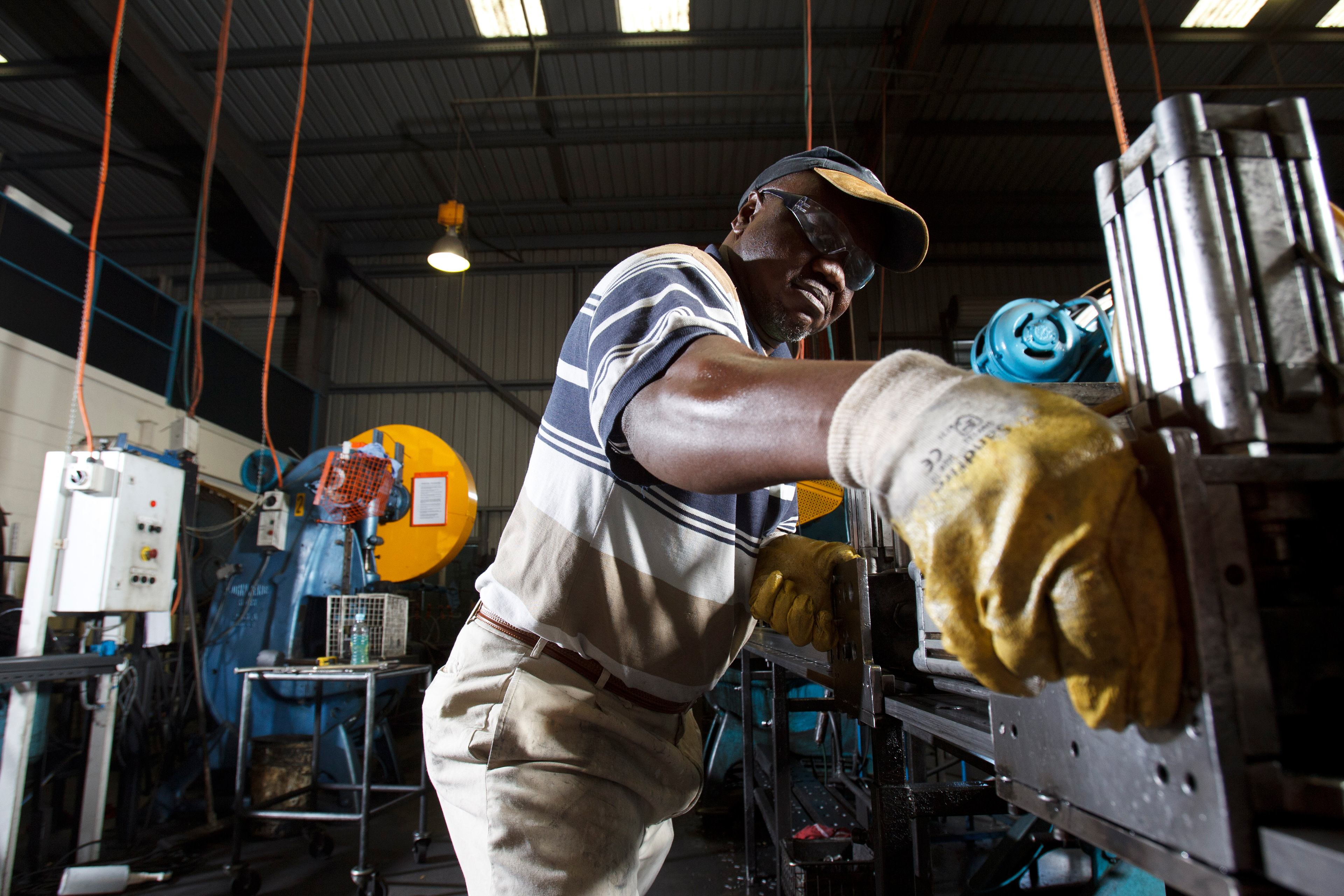
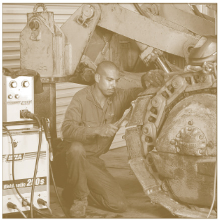
Worker at the industrial estate, Magnesium Drive Crestmead
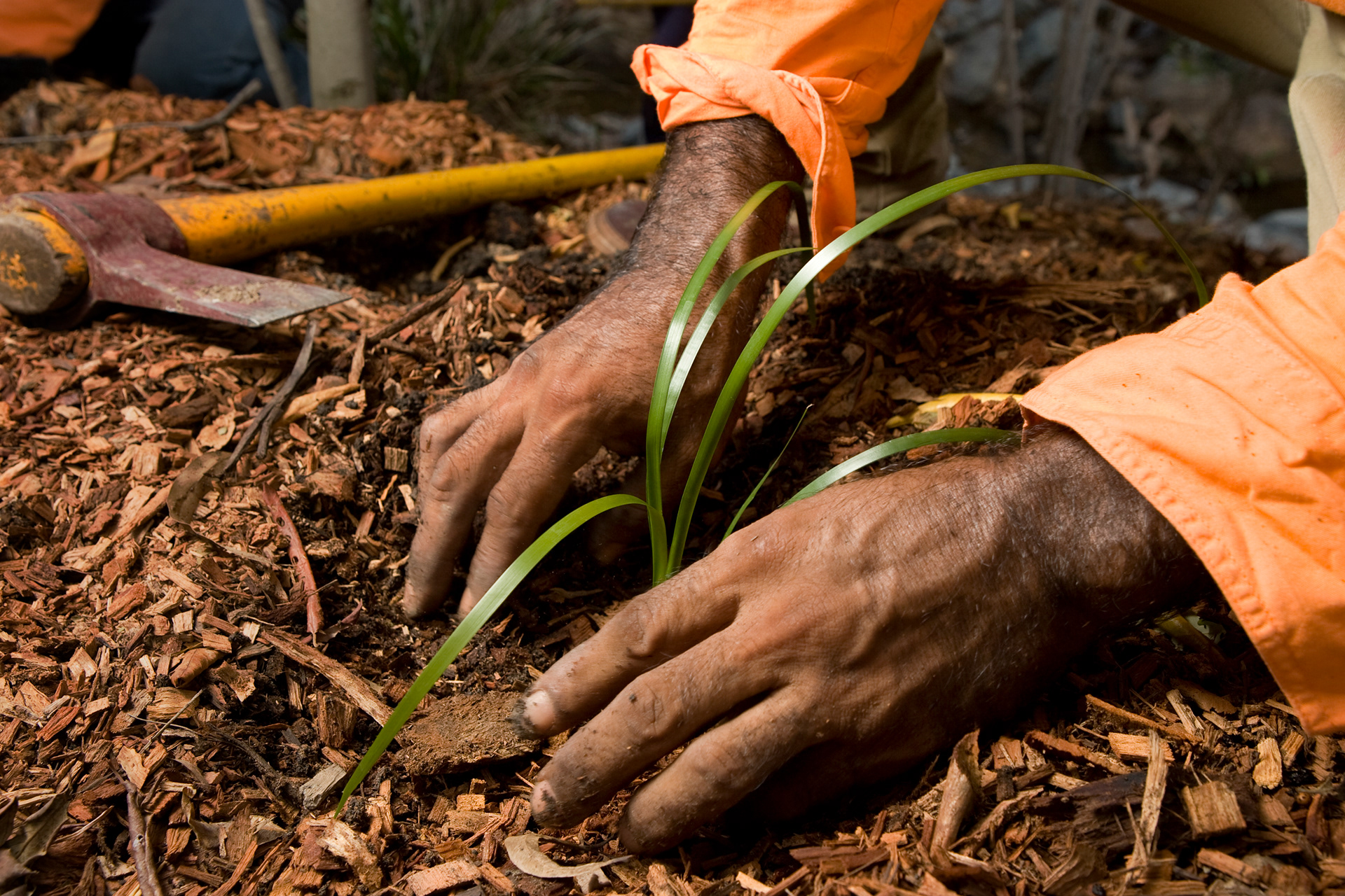
Roadside landscaper
Workers in training programs
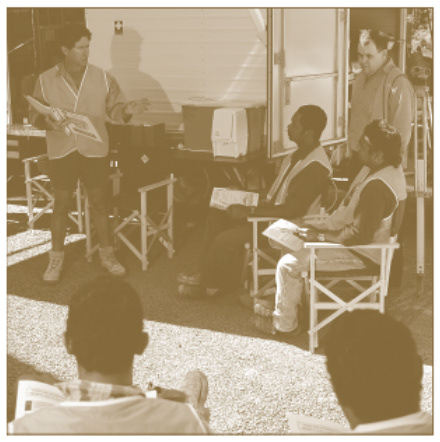
Workers in training programs

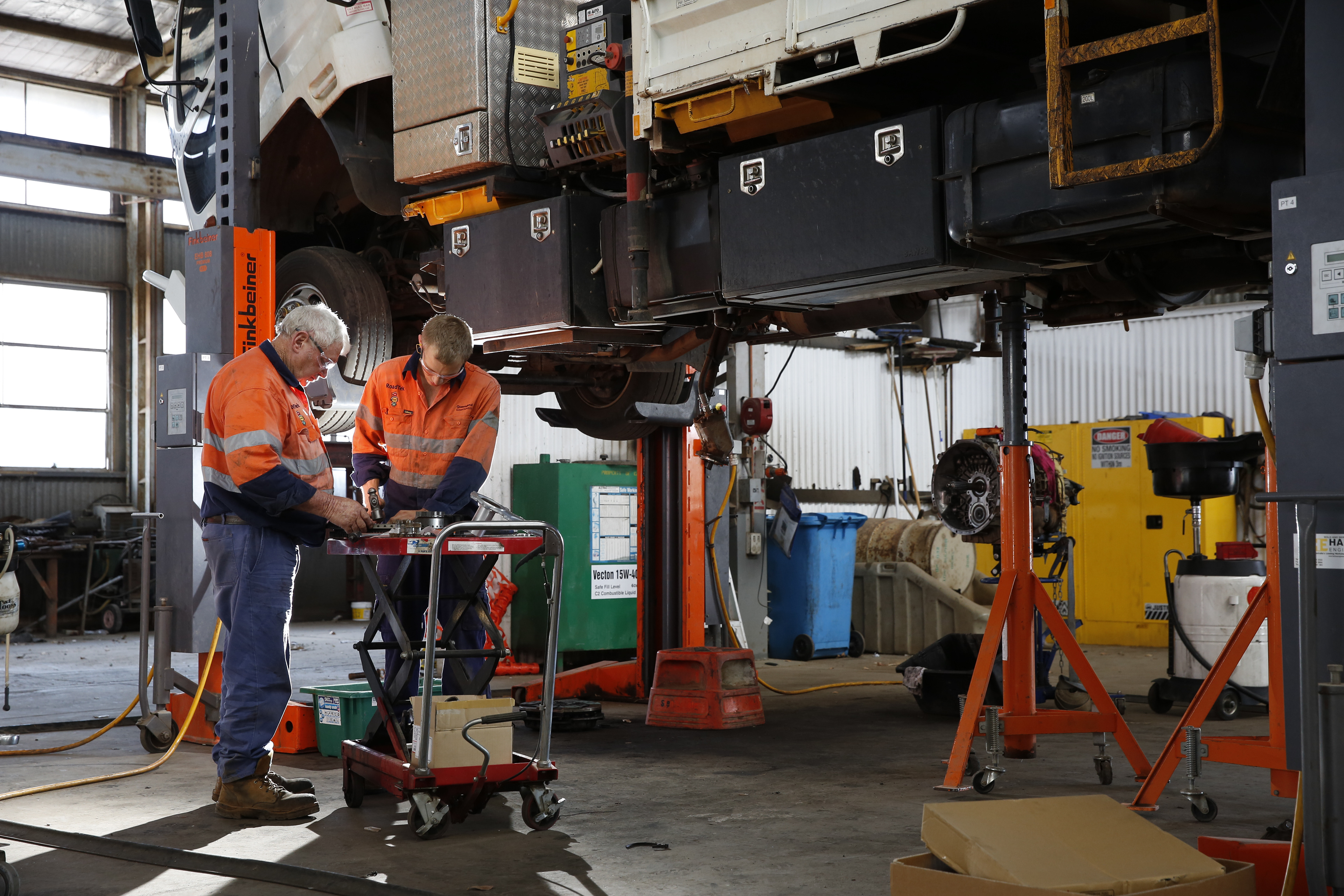
RoadTek workers in Personal Protective Equipment
RoadTek, Cluden Depot
Connecting Queensland
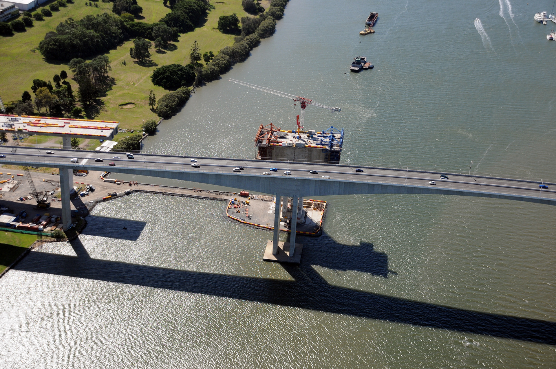
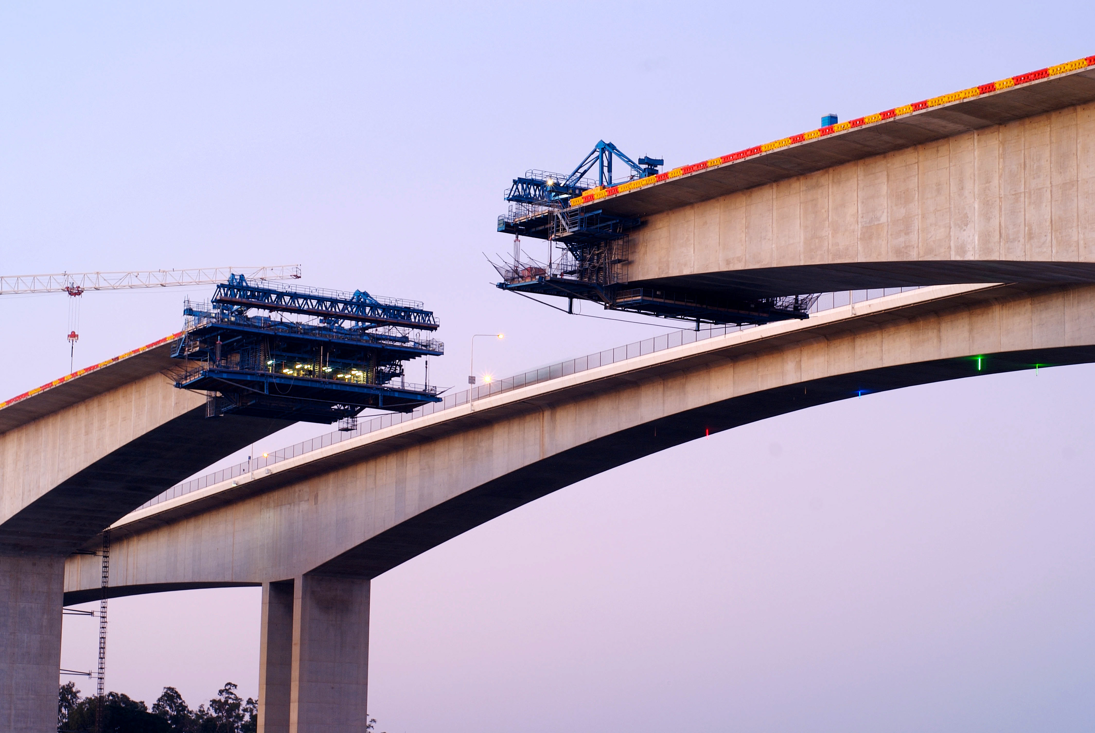
Gateway bridge under construction
Construction of the new 7 kilometre 6-lane motorway connecting the Gateway Bridges to the Gateway Motorway at Nudgee Bridge over Kedron Brook
Gateway Upgrade Project 2009
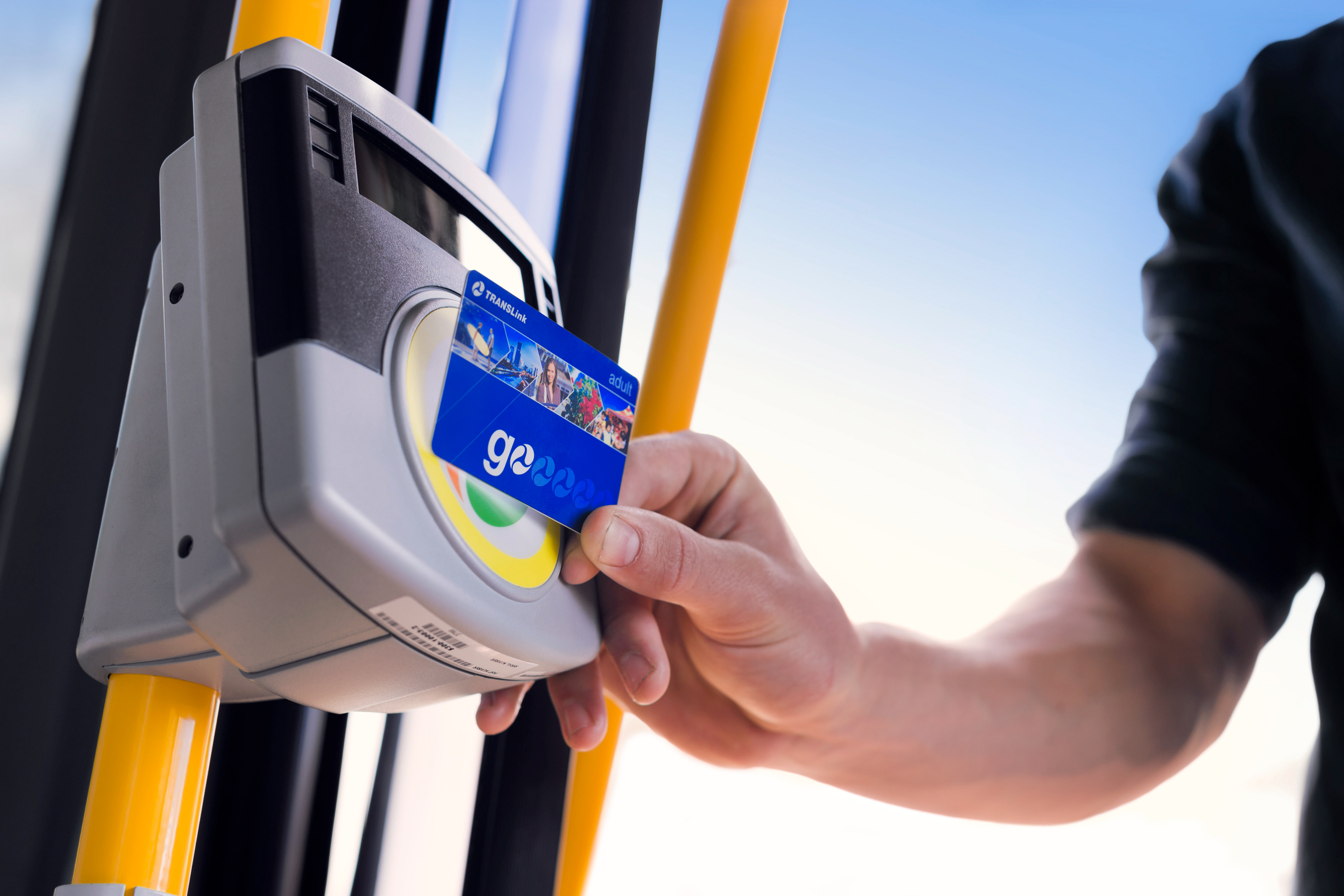
Bus tap on
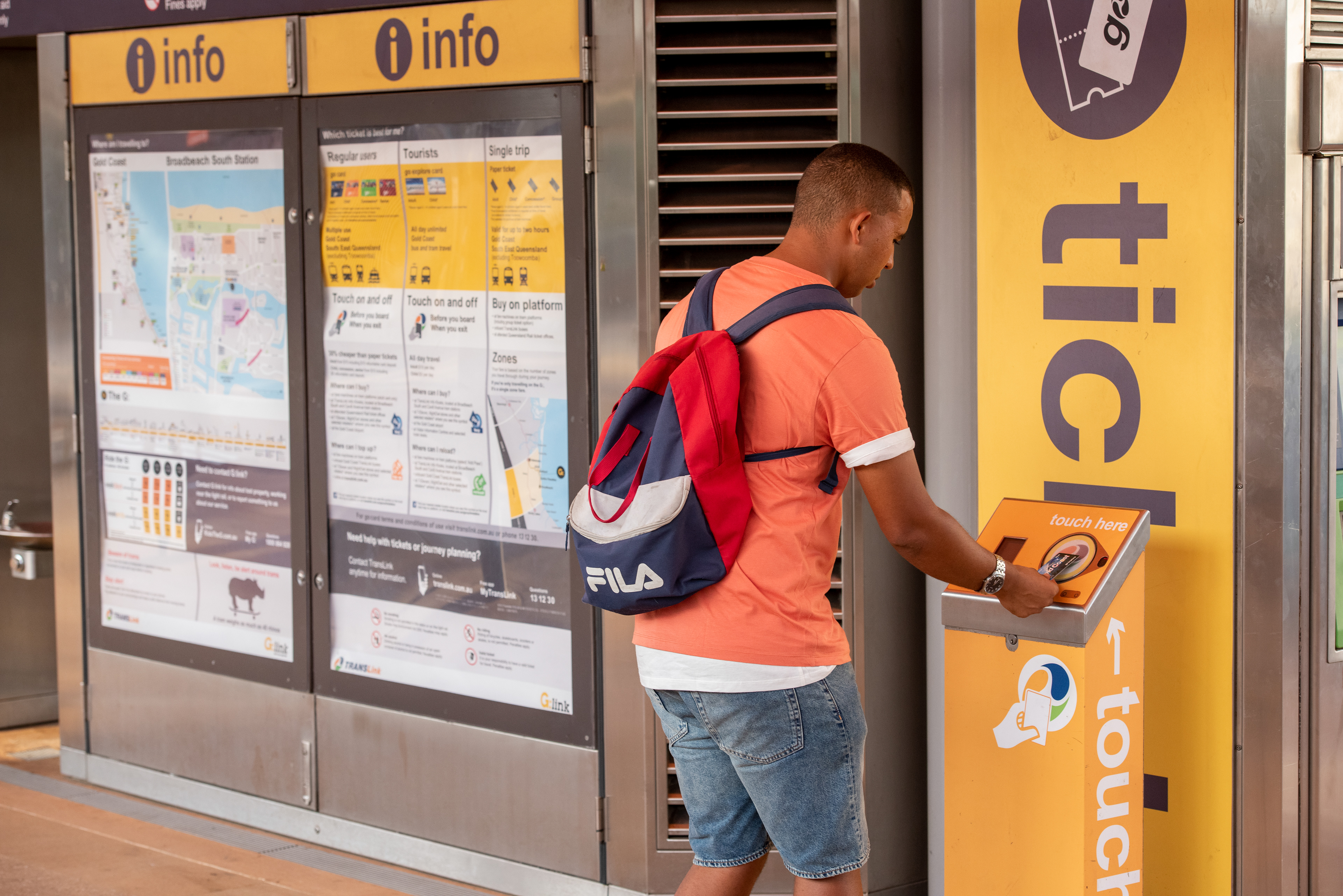
Station tap off
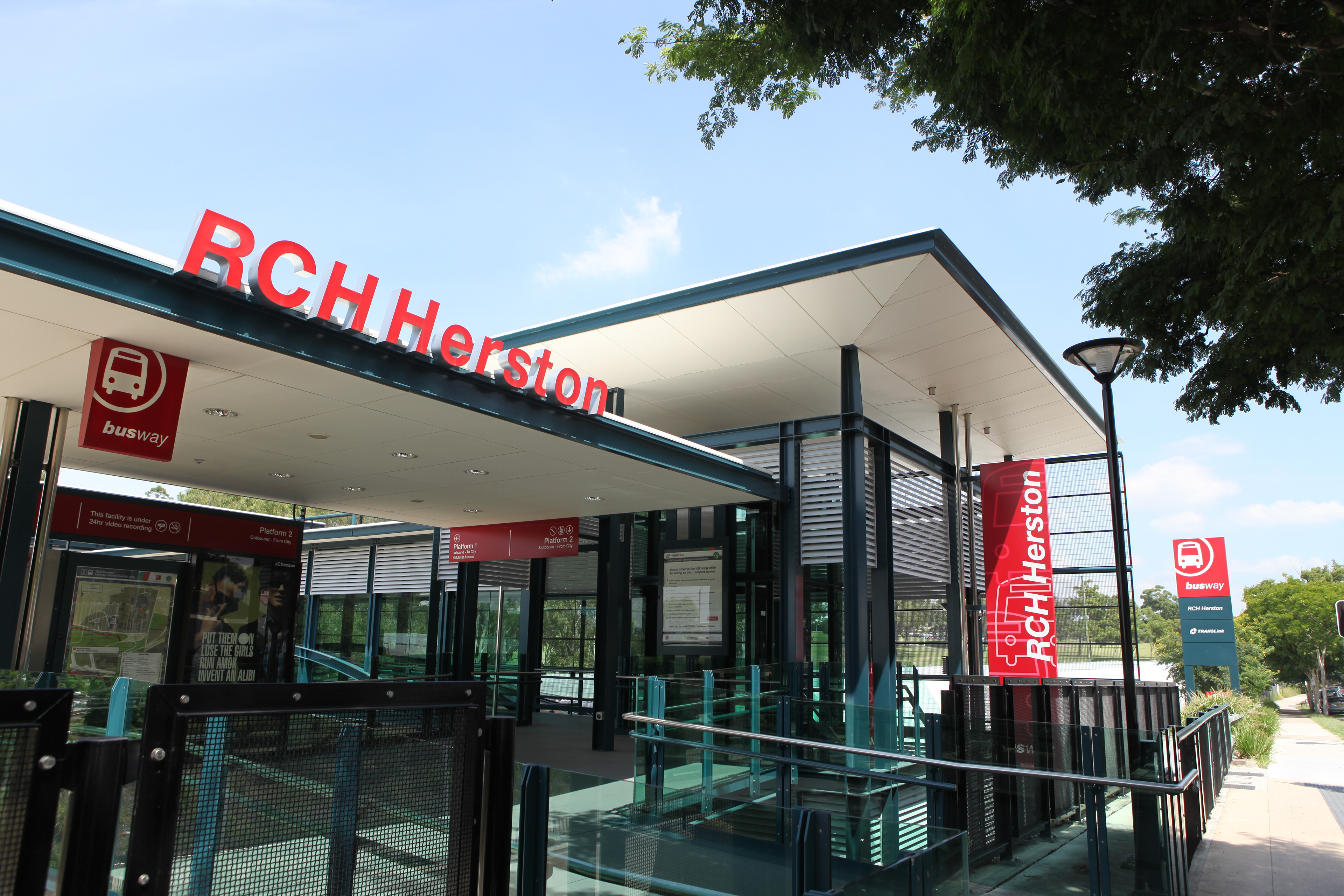
Royal Children's Hospital busway station

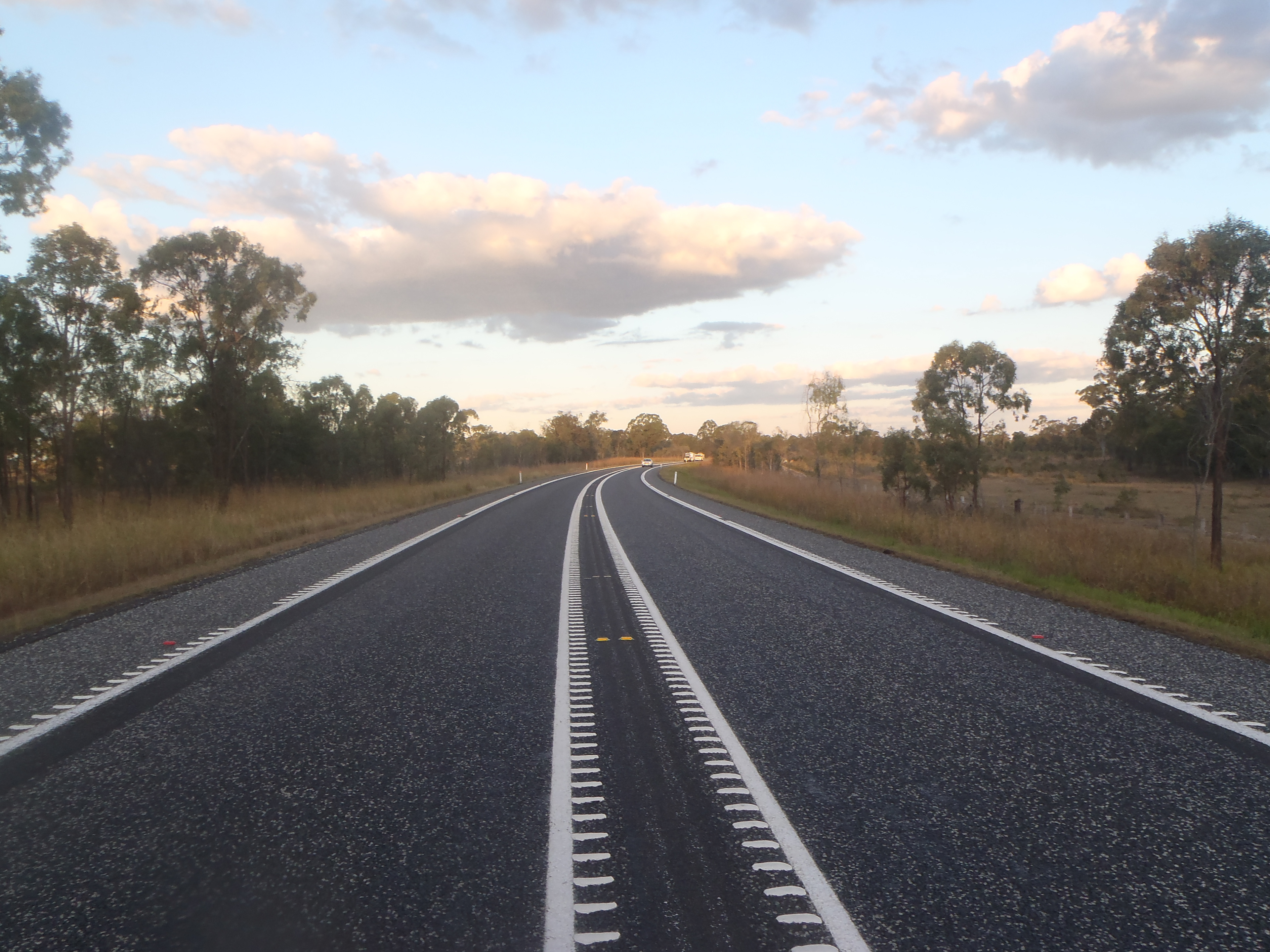
Heavy Vehicle Rest Area - Burnett Highway
Audio tactile line markings
Mabel Park School Pedestrian overpass
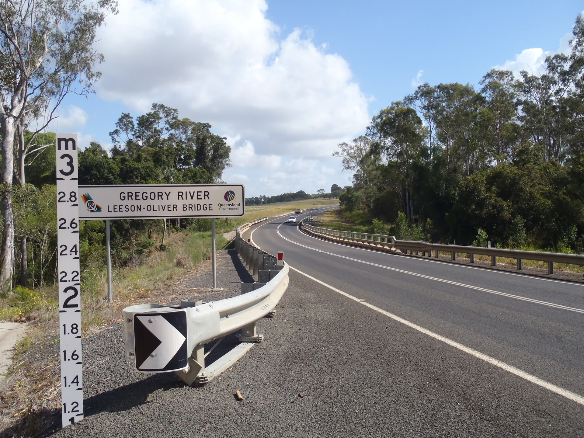
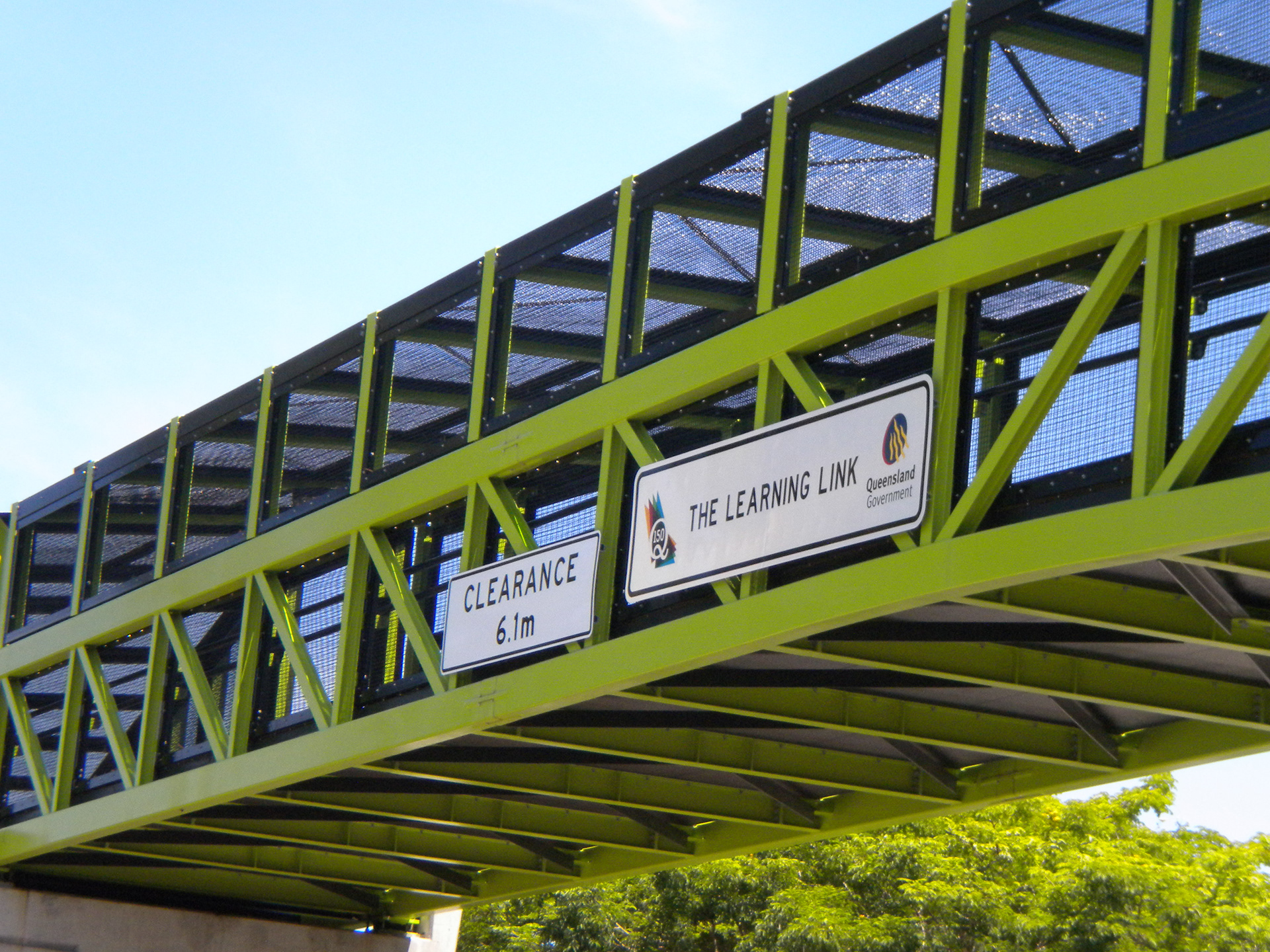
Q150 branded bridge